Leading Professions
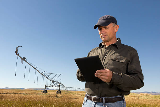
Explore various career paths and opportunities in Agricultural GIS & Remote-Sensing Analyst
Explore various career paths and opportunities in Agricultural GIS & Remote-Sensing Analyst

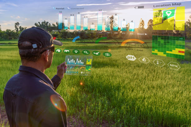
Early-career professionals handle basic spatial data analysis and mapping with increasing autonomy. They hone skills in image processing and crop monitoring while ensuring accuracy standards. Their practice builds experience through regular projects. They prepare for advanced roles by mastering core processes and adhering to geospatial protocols in diverse settings.
Experienced professionals manage complex geospatial projects with high accuracy, using advanced methodologies. They offer technical expertise in data interpretation and agricultural insights. Their skills improve precision by mentoring junior staff and resolving challenges. They are vital for project success, often leading initiatives during critical phases.
Specialists oversee large-scale GIS and remote-sensing projects with exceptional competence. They integrate deep geospatial knowledge with expertise in agriculture for impactful outcomes. Their proficiency aids detailed planning through close collaboration with research teams. They are central to project success, often focusing on scalability.

Senior professionals specialize in applying geospatial data to precision farming, ensuring resource efficiency. They provide leadership by establishing analytical protocols and managing high-priority projects. Their contributions enhance efficiency through innovation and quality assurance of insights. They are essential for industry progress, often bridging technology and farming needs.
Leaders provide strategic guidance on geospatial research in agricultural settings. They oversee research projects by aligning initiatives with sustainability goals. Their vision fosters productivity growth by integrating innovative solutions into frameworks. They are critical for research standards, preparing strategies to meet food security demands.

Top-tier educators manage entire geospatial or agricultural informatics academic programs or departments. They handle curriculum, mentoring, and research direction while ensuring academic rigor. Their leadership integrates education into broader systems. They play a key role in knowledge development, championing future analysts, and driving advancements in agricultural GIS.

Expert advisors offer specialized guidance on GIS and remote-sensing strategies to organizations and governments. They utilize extensive experience to enhance data accuracy and efficiency on a consultancy basis. Their insights shape industry trends by recommending advanced practices and policies. They are pivotal in advancing standards, often collaborating globally to improve agricultural geospatial systems.